Categories
Reading List EN Uncategorized

RL #030: Beyond Comparing Numbers: Qualitative Research Assessment 

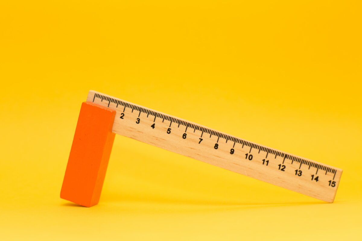
It can be argued well and lengthy about what is appropriate when it comes to evaluating the relevance, quality and significance of research work and making it measurable. The selected good reads encompass a range of perspectives, including open access repositories, research impact assessment, research evaluation projects, comprehensive assessment methods, and research grant evaluation. 

For once, let’s not start with theory work, but in a very practical way. The “Your Impact” research guide by the University of Illinois at Chicago (UIC) offers comprehensive information on evaluating research impact. It covers various metrics, tools, and methodologies to assess the societal, academic, and economic impacts of research. This guide provides practical advice to researchers, librarians, and administrators on navigating the complex landscape of research evaluation, empowering them to demonstrate the value and significance of their work.

Choose your methods wisely – they might be assessed

Of course, the choice of method always influences the results. And this also applies to the methods used to measure the impact of science. A recent project on evaluating research conducted by RAND Europe aims to improve understanding and methodologies for assessing research quality and impact. Their website offers insights into ongoing projects, publications, and tools related to research evaluation. RAND Europe’s expertise in research evaluation provides valuable insights for policymakers, funding agencies, and research institutions seeking to enhance evaluation practices and inform evidence-based decision-making.

If you are looking for a clear and theoretically sound introduction to the topic of research evaluation, Evaluating Research in Context: A Method for Comprehensive Assessment by Jack Spaapen, Huub Dijstelbloem and Frank Wamelink from 2007 is recommended. The focus is on one thing, as the title suggests: Context. The right context is important if not only publications in journals and their ranking values are to be counted. Contextual consideration is crucial in science impact assessment. Research takes place within diverse fields, each with its own objectives, methodologies, and timelines. Therefore, relying solely on universal indicators may oversimplify the evaluation process and fail to capture the nuances of different disciplines. By accounting for the contextual aspects, such as field-specific metrics, geographic factors, and research goals, a more accurate assessment of impact can be achieved.

Assessment of research should recognise diversity of outputs, practices and activities

At Oikoplus, we work in a number of projects funded or co-funded by Horizon Europe, the European Union’s research and innovation program. This raises a very practical question: How does the EU measure the impact of the projects it (co-)funds? The EU Commission calls its new impact monitoring framework ‘Key Impact Pathways’. A recent working document provides an insight into the various indicators used by the EU Commission to evaluate projects.

Science impact assessment is essential for evaluating the broader influence and value of research.

When it comes to evaluation and measurability, it is obvious to operationalize success in numbers. However, there is no scheme for this operationalization that can represent the different types of scientific practice in a comparable way. Researchers are aware of this. One answer to the problem is the Coalition for Advancing Research Assessment (CoARA). Hundreds of universities, institutes, and scientific institutions have already joined the Coalition, united by the vision “that the assessment of research, researchers and research organisations recognises the diverse outputs, practices and activities that maximise the quality and impact of research. This requires basing assessment primarily on qualitative judgement, for which peer review is central, supported by responsible use of quantitative indicators.”

Research assessment should always consider the indicators used and the specific context of the research being assessed. By adopting a comprehensive and contextual approach to impact assessment, stakeholders can gain a more nuanced understanding of research outcomes, encourage diverse research pathways, and make informed decisions to support the advancement of science and its positive societal impact.

Categories
Reading List EN Uncategorized

RL #029: Cartography as a Place of Exchange Between Citizens and Experts

The ability to understand one’s immediate surroundings has always been an extremely important skill. For this reason, humanity has spent thousands of years developing and perfecting the craft of representing spatial information including routes or landforms. In today’s age of modern technology, however, the amount and variety of information that needs to be mapped are increasing. Nowadays the ability to have a grasp on our surroundings is proving more complex. This reading list will therefore explore how cartography turns out to be useful to facilitate knowledge exchanges and how it can serve as a vehicle for critical thinking.

Explaining Cartography

Cartography is the practice of map-making. Originally cartographers graphically represented spatial or geographical data but are now faced with having to translate diverse figures from multiple sensors and multiple origins. According to Elik Eizenberg in Forbes technology online magazine, we find ourselves swimming in data (and should care about it). As we can’t fully harness all data, the data scientists’ continuation of collecting new data, slowly loses meaning. Mapping, Georg Gartner argues in an article for Ersi, the global leader in geographic information systems, bridges between human users and all this data. It uses visualization to make science approachable to the public, fully unleashing its potential. 

Point cloud of slope failures in Sensuikyo Valley by LIDAR a tool in modern 3d cartography. Source: https://www.unearthlabs.com/blogs/modern-cartography

From Knowledge Reception to Knowledge Exchange

Empowering citizens to make informed decisions can also have another effect, namely mutual information exchange. Originally cartographers collect data from various measuring tools such as aerial photographs, remote sensing, field observations, or coordinate lists. This data, however, as mentioned by Horizon 2020-funded WeObserve, has a scarce update date due to increased costs and timely data validation procedures. Today, considering the increased complexity of data, cartographers also turn to alternative sources such as citizens.

Interactive exploration of good and bad governments worldwide by GOV DNA. Source: https://govdna.sudox.nl/#layout/geo/country/WRL/x/32/y/5/z/8/a/0

According to Caroline Anstey for The New York Times, this new shift towards crowdsourcing information is immensely useful to cartography. Citizens provide both quantitative, but also qualitative data often omitted by cartographers. The citizens’ expertise comes from living in one place for a prolonged period of time. Changes in demographics, environment, human relations, or even housing habits are useful to mapping projects as they can translate into policies or planning decisions. To build trust underlying this exchange, cartographers should provide citizens with clear and understandable information.  

Cartography as a Vehicle for Critical Thinking

According to Sukhmani Mantel for The Conversation, visually mapping relations allows information to engage multiple senses and become relevant to daily life. And indeed, citizens are able to handle novel concepts with an extensive social and cross-cultural understanding. This is what Aleks Buczkowski explains in his piece written for GeoAwesome, the world’s largest geospatial community.

Essentially, Stevenson et al., from Stockholm Environment Institute, claim in an SEI Brief about extreme citizen science approaches in digital mapping, that people from mapping practices, no matter their education level, gain the ability to understand the developing world. This supports their chances to better participate in it also on a more general level: previously excluded groups become aware of how they can co-create and get involved. They now contribute to scientific research, so-called citizen science.

Forensic architecture embedded photographs and videos to reconstruct the story of a single battle during 2014 Gaza War
Forensic architecture embedded photographs and videos to reconstruct the story of a single battle during 2014 Gaza War. Source: https://www.gold.ac.uk/news/forensic-architecture-ica/

As stated by Fraisl, Heyl, and Hager, researchers at Institute for Applied System Analysis, citizen science is important for the democratization of the scientific field. At the same time, it plays a role in empowering citizens to make informed decisions about their surroundings. This way, as mentioned by Organisation for Security and Co-operation in Europe, authoritative power becomes decentralized and decision-makers can be held accountable for their actions.

Conclusion

Obtaining accurate cartographic data through crowdsourcing is something that is in its early stages, but is increasingly practiced. Especially because now citizens have increasingly more opportunities to use tools, which give them access to global data. On an entrepreneurial scale, this is already taking place. The Domino-E project, which focuses on developing a federation layer optimising the availability of Earth observation data, builds on interoperability and knowledge sharing. Knowledge sharing generates knowledge creation, which is why it is important for cartographers to bet for information exchange as it benefits both them and citizens equally.

Categories
Reading List EN

RL #024: Hands-on: Gamification in Archeo-Tourism

This Oikoplus Reading List is not about a specific issue in the field of Science Communication and Research Dissemination, for once. This Oikoplus Reading List is about one of our own projects.

In the past two years we have learned a lot about archaeology through the participation of our association Sustainication e.V. (a quasi subsidary of Oikoplus) in the Interreg project ArcheoDanube. And about the exciting challenge of using archaeology to develop sustainable tourism concepts. 

After two and a half intensive project years, ArcheoDanube will come to an end in 2022. In mid-November, the Closing Conference took place in the Slovenian city of Ptuj. The different institutions involved in the project from 11 countries of the Danube Region presented the results of the project. These include not only Guidelines for Local Archeo Plans as a vehicle for sustainable archeotourism, but also concrete local pilot actions in which the concept of Archaeological Parks was and will be tested.

But what does ArcheoDanube have to do with science communication and Oikoplus? Well … plenty. Because embedding archaeology in tourism concepts requires the commmunication of research results – adapted to a specific place and specific target groups. The Sustainication/Oikoplus team was able to contribute to the project not only by writing an e-handbook on archaeological site management, but also by participating in three think tank workshops evaluating Local Action Plans in Szombathely (HU), Pilsen (CZ) and X (HR). 

Digital Tools for ArcheoTourism Gamification

And: We have developed a mobile app. The app ArcheoTales for Android and iOS, which was developed together with the Graz-based company Softwaregärtner, allows visitors to archaeological sites and museums to be sent on digital scavenger hunts. This allows cultural tourism providers and operators of heritage sites to offer didactically and playfully prepared content to different target groups. And visitors can experience the exhibition in the form of a puzzle game at their own, individual pace. Here, visitors communicate via mobile app with fictional characters in a mass-ger interface. 

Another digital tool developed in the ArcheoDanube project is Yesterday-Today-Tomorrow. It is specifically aimed at cities and municipalities that have cultural heritage and archaeological sites and are looking for assistance in creating a tourism concept in the form of an archeopark. 

In the ArcheoTales project, we have been able to learn an immense amount about archaeology and the cultural history of the Danube region, visit wonderful places with cultural tourism treasures, and meet fantastic colleagues from 11 countries. In the process, we made new friends and learned what good science communication can do in a field that was completely new to us – and how much fun it is to do it.

Categories
Reading List EN

RL #023: To the point: presenting scientific content

July and September are conference months in Europe. During the day, the sun is pleasantly high and outdoor and indoor areas can be used without much extra effort. The mood is good, almost exuberant. At most universities, teaching has either just ended or not yet begun. It is holiday time and depending on the place and interest, some add 2-3 days to the conference. There are others who come sooner. Besides the pleasant setting, however, conferences are also those moments in a scientific career when you need to generate attention for yourself and your scientific work. In a highly fluid context, you get to know your closest allies, your co-authors, and future superiors. In order to do this, however, you have to convince them with your ideas. And that means, above all, getting to the point. This is exactly what this reading list is about.

Photo by Mikael Kristenson on Unsplash

Getting to the point: English as a twofold barrier

To get to the point means first of all to leave out everything unnecessary. No details but only what is most important for your argument should be articulated. Synonyms are ‘to say something clearly’, ‘to be frank’, ‘not to hide something’, ‘to be clear’, and ‘to express yourself unambiguously’. Not that easy when much of the communication is in a foreign language. In Nature’s career column, Roey Elnathan 2021 (paywall) called for broad-based mentoring programs for aspiring and experienced scientists who publish in foreign languages. According to Elnathan’s, precision and accuracy cannot be achieved otherwise.

But English is only the current lingua franca of science. In the video podcast Languages in Science by MetodieStrategie, Timothy E.L Douglas explains that we have already experienced Latin, German, and French as scientific languages since the 17th century. He speaks for the European-Western and international science community. Most recently, Douglas says, science has become more linguistically diverse again.

Photo by Joshua Hoehne on Unsplash

Another important point Douglas makes in the podcast concerns the target audience. And here, it seems, native English speakers often find it most difficult to adapt their own language skills to the community. As with writing readable academic texts, knowing your listeners and readers is a prerequisite. They define the framework for the infamous point to which we should bring our argumentation. Complaining at a high level?

I am designing a presentation. So what should be brought to the point?

In short: everything! The introduction, your research question, and, if available, your hypotheses. The methodology. The visual material and your argumentation. No detail that is not needed, no subordinate clause too much. Short sentences delivered at speaking speed, not reading speed, with pauses for breath. Because many present their arguments in combination with text, images, and visualized data, here a reminder: get to the point!

First of all, it should be noted that diagrams, graphs, and also photographs are permissible for communicating knowledge and content within peer groups. At least, that is what Laura Perini argues in Visual Representations and Confirmation (paywall). The images and visual representations that Perini classifies as for the science community are thus unlike the images representing science that the Max Plank Society, for example, offers for sale. They have no point, but aesthetic value? Again, the question of the listeners applies. A picture to trace the history and context, a map to locate, and a graph to show statistical distributions. To keep the latter clear, here are a few meaningful visualizations and the University of York’s DIY Wiki.

Photo by David Pisnoy on Unsplash

Focus on your particular interest: Get feedback, collect ideas and suggestions, forge alliances

Last but not least a tip; a suggestion. After my own first experience on the conference floor, I quickly realized that I sometimes don’t get the kind of feedback I would need. But if your presentation was an argument to the point, then you can expect the same from your listeners. Give them a question to ask. Share what has been on your mind since your last learning and invite them to think along with you. Your own needs should be brought to the point as well. Because only when you return from your conferences with good discussions in your pockets will you find the motivation for preparing for the upcoming conference summer.